-40%
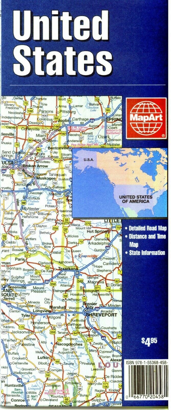
Folded Road Map of United States, by MapArt Publishing
$ 2.61
- Description
- Size Guide
Description
Folded Road Map of United States, by MapArt PublishingThis folded map of the USA measures about 27 inches East to West by 38 inches North to South. The scale is 1:4,725,00 for the continental US & Hawaii, 1 inch = 75 miles. Alaska 1:13,500,000.Map is New 2008/09 edition in a plastic sleeve. One side is all USA including Alaska & Hawaii. The reverse side has an index of places, a map showing time and distances between major cities in the USA, parts of Canada and Mexico. There is also a list of the states with the motto, date of statehood, population area, capitol, major cities and more.
Map is printed on heavy duty paper, and measures approx. 27" x 38" Copyright 2009, ISBN
9781553684589
Map is new, comes shrink wrapp
ed.
