-40%
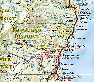
Hawaii Adventure Travel Map National Geographic Waterproof
$ 7.37
- Description
- Size Guide
Description
Hawaii Adventure Map by National Geographic- Detailed, Waterproof, Rip-Resistant
This map differs from a traditional road map because it includes hundreds of points of interest that highlight diverse and unique recreational, ecological, cultural and historic destinations. NatGeo adventure maps are the perfect companion to a guidebook, yet far easier to pack!
The front side of the map details the big island of Hawaii with plenty of detail to show the trail networks in Hawaii Volcanoes National Park and Mauna Kea Forest Preserve. Popular sites throughout the island are clearly marked, such as beaches, scenic lookouts, campgrounds, golf courses and unique points-of-interest. A detailed road network shows the main loop Mamalahoa Highway, as well as secondary roads, and neighborhood. Historic lava flows are shown and dated, providing a perspective on the geologic history of the island. The reverse contains three separate inset maps for Ni'ihau and Kauai, Oahu, and Molokai, Lanai, and Maui. Like the front side of the map, each islands unique points of interest and detailed road network are clearly marked.
Key Features:
> Waterproof and tear-resistant
> Detailed topography with clearly labeled natural features
> Hundreds of points of interest, including the location of protected sites, parks and nature reserves, protected lands, archaeological sites, wildlife parks, beaches and more
> Thousands of place names with a detailed index
> Important travel aids including airports, lighthouses, ferry routes and trails
> Latitude/Longitude grids along with a compass rose and scale bars for accurate navigation with compass or GPS
Printed two sides on synthetic waterproof tear-resistant material, 25" x 38", folded to a handy 4" x 9".
MSRP .95
ISBN 978-1-56695-651-2


