-40%
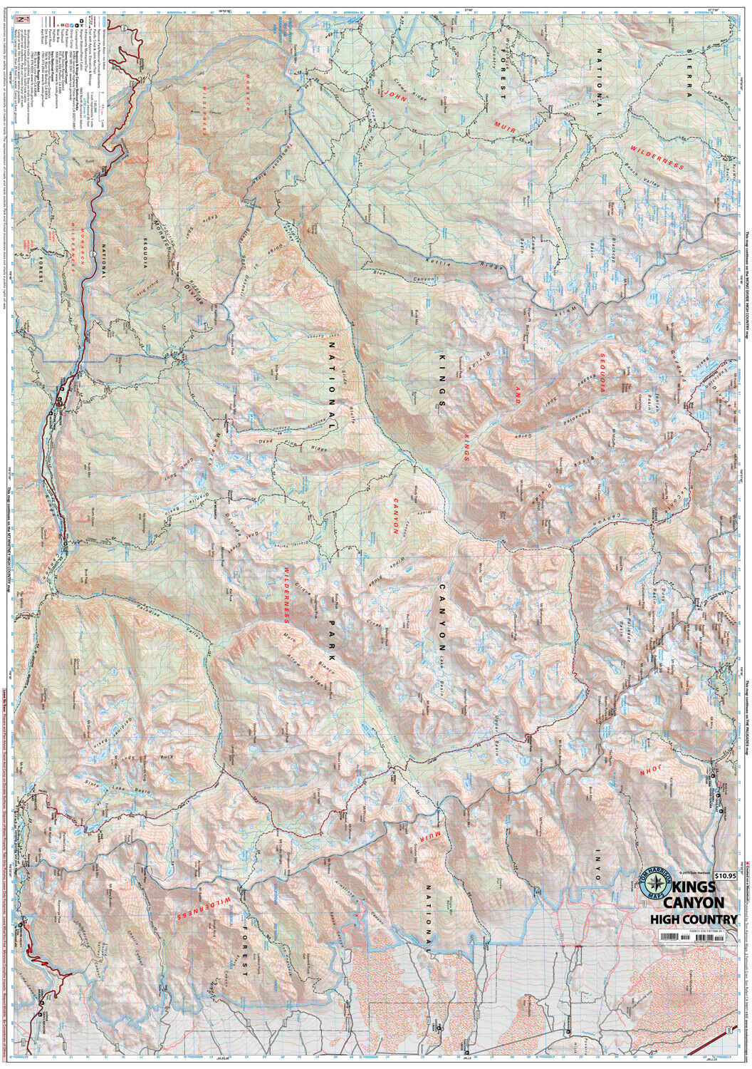
Kings Canyon High Country Trail Map, California, by Tom Harrison Maps
$ 6.83
- Description
- Size Guide
Description
Kings Canyon High Country Trail Map, California, by Tom Harrison MapsPrinted on tear resistant & waterproof paper!
Folded topo trail map of Kings Canyon High Country. Features color-coded symbols and trails, mileages between trail junctions, latitude/longitude, UTM grids, contour lines, vegetation, and elevations at trail junctions. Printed on one side. Waterproof, tear-resistant plastic material.
Area Covered includes:
Sixty Lakes Basin, Paradise Valley, Cedar Grove, Kearsage Pass, Le Conte Canyon, Crown Valley, Tehipite Valley, Black Cap Basin, Glen Pass, Pinchot Pass, Mather Pass, Muir Pass.
Map is Brand New, copyright 2021
ISBN
9780989457934

