-40%
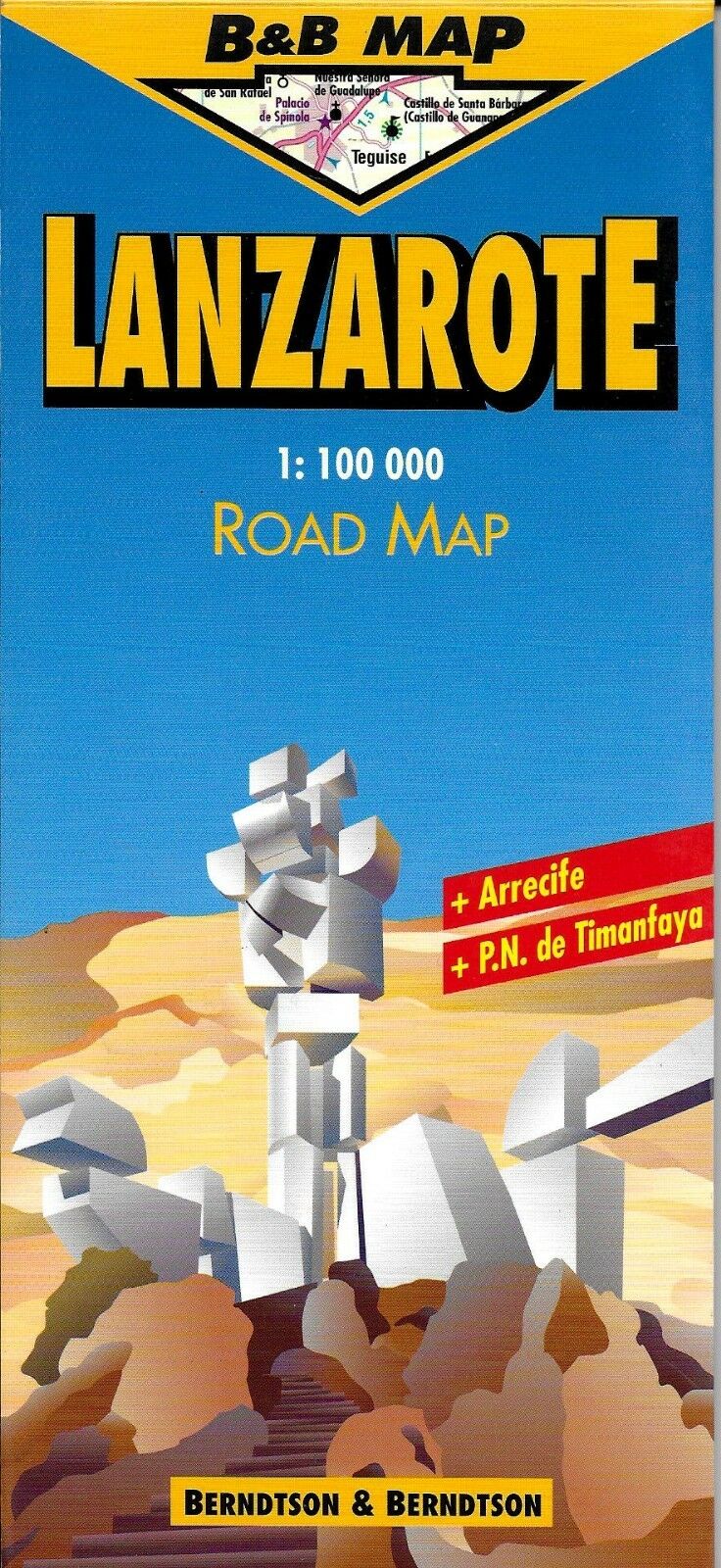
Map of Lanzarote, Canary Islands, Laminated & Folded by Berndston Maps
$ 2.08
- Description
- Size Guide
Description
Map of Lanzarote, Canary Islands, Laminated & Folded by Berndston MapsLaminated road & travel map in full color with shaded relief. Easy to re-fold, convenient size.
Where to scuba dive, windsurf, yacht, sunbathe, visit archeological sites, and go deep-sea fishing. Monuments, museums, churches, windmills, notable caves, lighthouses, castles, airports & airfields. Places of interest, harbors, hospitals, parks and zoos. Bust stations and filling stations. Roads from highways to paths; distances in kilometers.
Includes maps of Canary Islands, Puerto del Rosario, Corralejo, Morro Jable, Fuerteventura.
Traveler information and safety/emergency resources. Climate information. Fully indexed.
Main map scale 1:100,000. In English, French, German, Spanish, Italian.
Map is lightweight and printed on tear resistant laminated paper. Map measures approx. 18" x 25" when unfolded.
Map is out of print, and hard to find.
Copyright 1999,
Map is new, NOS.
