-40%
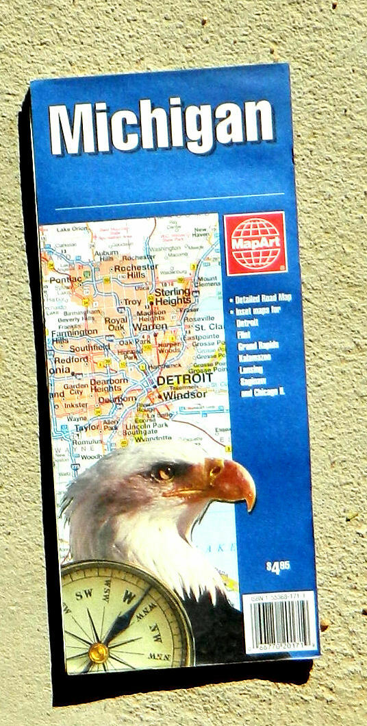
MapArt, Michigan road map (2004, folded map)
$ 1.32
- Description
- Size Guide
Description
MapArt,Michigan road map
Excellent detailed road map printed on two sides. One side shows the whole state, with the farthest western portion of the state detached in an inset. Shaded relief gives depth to the map and makes the hilly areas readily discernible. All classes of roads clearly distinguished, with point to point distance along the major roads indicated in both miles and kilometers. Insets show detail maps of the main streets of Flint, Lansing, Kalamazoo, Saginaw, and Grand Rapids. A comprehensive index helps you locate the towns on the main map.
On the reverse are five additional maps: One shows the streets in detail for the riverside portion of Detroit and adjacent Windsor, Ontario. The second covers the main roads of the "Midwestern United States" (a title not quite consistent with US usage, since it extends from Kansas City to New York City, and from Thunder Bay in Ontario south to Macon, Georgia, but excludes several states we usually consider "Midwestern" such as Kansas, Nebraska, and the Dakotas). A third shows the main streets only of the Detroit region. A fourth shows the main streets of Chicago in Illinois and not Michigan, but heck, they had space so why not include it? The last shows a schematic distance and drive time map for much of North America, from Edmonton, Canada south to Mexico City.
Scale, 1:800,000 (1 inch = about 12.6 miles). Size: about 27 x 39 inches. Folded. Paper.
Published by MapArt, Canada, 2004. New
Publisher's price: .95
Please note that while this item is new, it has been in storage for many years and is not the newest edition.
