-40%
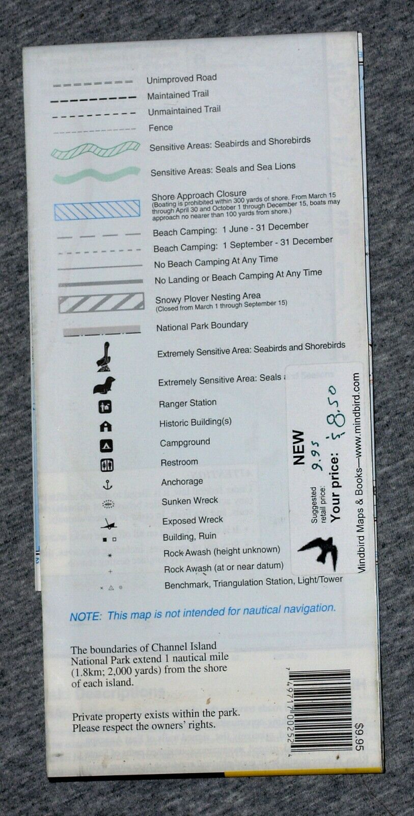
National Geographic / Trails Illus, Channel Islands Nal Ptark (1999, folded map)
$ 1.05
- Description
- Size Guide
Description
National Geographic / Trails Illustrated,Channel Islands National Park, California
Detailed topographic maps of the five islands which are included in the National Park: Santa Cruz, Santa Rosa, San Miguel, Anacapa, and Santa Barbara. About one quarter of this two sided publication is devoted to information on the park, including geography, facilities, access, and regulations. The Santa Cruz Island map also includes the 90% of the island managed by The Nature Conservancy. An inset shows a generalized street map of a part of Ventura, on the mainland, indicating the location of the visitor center.
Besides topo contours and trails, the map also indicates areas which are important to seabirds and marine mammals, and which therefore should be visited only with proper regard to their needs.
Scale, 1:43,000 (1 inch = about 2/3 mile). Contour interval: 50 feet and 25 feet. Size: about 37½ x 25½ inches. Folded. Plastic.
National Geographic / Trails Illustrated, 1999.
Publisher's price: .95.
While this item is new, it has been in storage for many years and it is not the latest edition.

