-40%
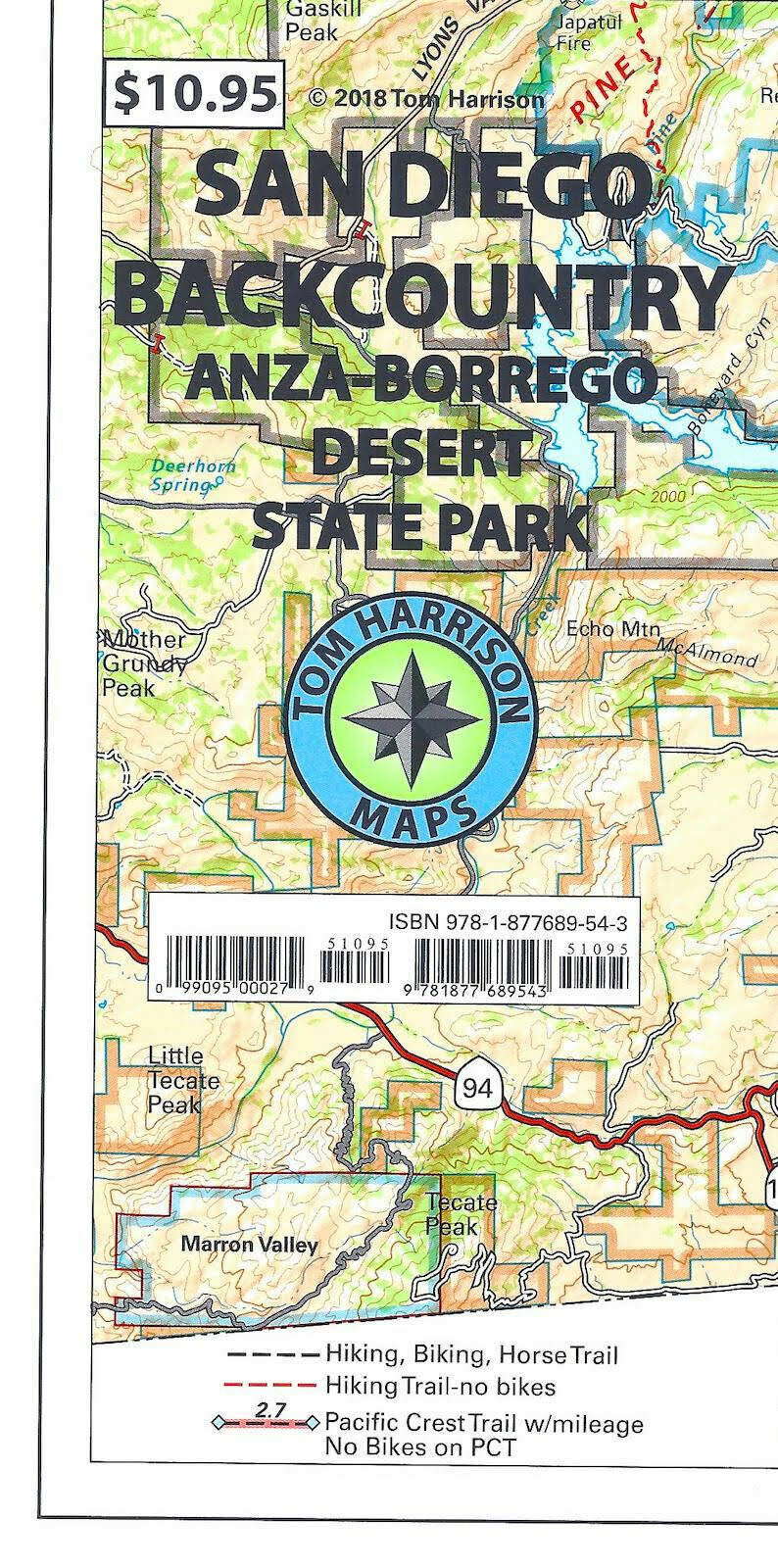
Recreation Map of the San Diego Backcountry, California, by Tom Harrison Maps
$ 5.78
- Description
- Size Guide
Description
Recreation Map of the San Diego Backcountry, California, by Tom Harrison MapsPrinted on tear resistant & waterproof paper!
Folded topo recreational map of San Diego backcountry. Features color-coded symbols and trails, mileages between trail junctions, latitude/longitude, UTM grids, contour lines, vegetation, and elevations at trail junctions. Map is printed on waterproof and tear resistant material. Includes Anza Borrego State Park, Cleveland National Forest, Cuyamaca State Park and the Southernmost portion of the Pacific Crest Trail.
Map measures 21" x 34
"
Map is Brand New, copyright 2018
ISBN
9781877689543
